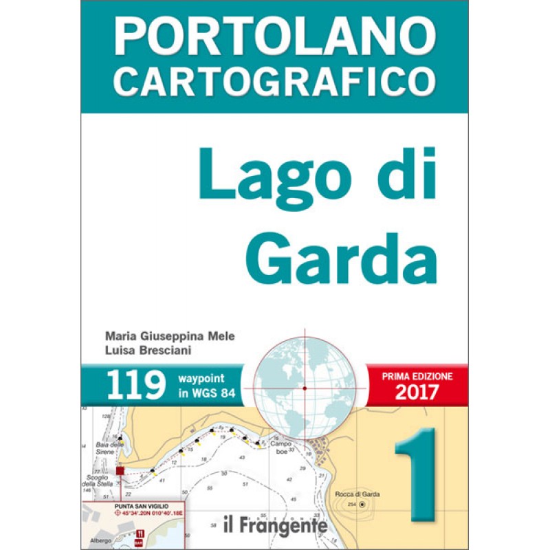
PORTOLANO GARDA LAKE
- Availability:
- In Stock
- Product Code:
- PORTGARDA
- Brand:
- Dna Marine
The pilot's book is the necessary complement to the nautical chart and includes all the information to the navigator that you can not bring on the card.
This publication on Lake Garda is the first portolan chart drawn up according to a maritime and non-tourism concept, subject to regular updates that can be freely downloaded from the publisher's site.
His essential style provides all the information needed to safely navigate this which is the largest lake in Italy. Each of the 42 mapping tables shows a specific stretch of coast with their detailed plans of ports and harbors; everything is enhanced by a brief general wording relating to any marine services and beautiful aerial images.
The general work table, a map with the fuel delivery points and mooring, a map of the winds and the list of waypoints in WGS 84 provide an overview of immediate reading of the navigation area.
42 TABLES CARTOGRAPHIC
119 WAYPOINTS IN WGS 84


